
Fayette Atlas
Mapping Opportunities For Fayette County's Future
Through geographic data, interactive mapping, and collaborative services, Fay-Penn is helping communities turn information into opportunities and opportunities into projects through Fayette Atlas.

A GIS Initiative
A New Perspective on Economic Development
What if communities could see their opportunities before planning their next project?
Fay-Penn Economic Development Council is introducing Fayette Atlas, a new Geographic Information System (GIS) initiative designed to bring geographic data, interactive mapping, and community information together to support economic development throughout Fayette County.
Using Esri’s ArcGIS technology, Fayette Atlas is transforming how geographic information can be organized, analyzed, and applied to real-world community needs. From identifying potential development opportunities to understanding infrastructure challenges and demographic trends, the initiative is designed to help communities and organizations make more informed decisions about their future.
But Fayette Atlas is about more than creating maps. It is about making geographic information accessible, understandable, and useful to the people and organizations working to strengthen Fayette County.
What Is Fayette Atlas?
Turning Data Into Opportunities
Geographic information can reveal opportunities that are difficult to recognize through traditional planning methods. GIS technology organizes information by location, helping users identify patterns and understand relationships between land, infrastructure, demographics, and community assets.
Through Fayette Atlas, Fay-Penn is developing geographic datasets, interactive maps, and analytical tools that support local decision-making.
These resources can help municipalities, businesses, and community organizations better understand existing conditions and evaluate potential projects.

How Fayette Atlas Supports Communities
Municipal GIS Assistance
Smaller municipalities may not have the staffing, technology, or financial resources to maintain their own GIS capabilities. Fayette Atlas is designed to make geographic resources and assistance more accessible.
Fay-Penn can help communities explore GIS applications related to infrastructure needs, community assets, demographic conditions, and potential improvement projects.
These resources provide a practical starting point for identifying needs and establishing priorities.
Grant Readiness and Project Planning
Successful projects often begin well before a funding application is submitted. Communities must identify needs, establish priorities, and organize supporting information.
Fayette Atlas provides geographic analysis and mapping resources that can support these early planning stages. By helping municipalities better understand local conditions, the initiative aims to strengthen project development and grant readiness.
These services complement the work of municipal engineers, professional planners, surveyors, and other consultants. They help communities prepare for productive conversations with professional partners and move promising ideas toward implementation.
Geographic Data and Interactive Mapping
Fay-Penn is developing a shared collection of geographic datasets, interactive applications, and analytical resources.
Through a planned Fayette Atlas Data Access Program, participating organizations may gain access to selected maps, dashboards, and curated information maintained through the initiative.
Potential resources include:
Community demographic information
Land-use data
Community asset inventories
Development-related information
Interactive mapping tools
As the program develops, Fay-Penn will continue evaluating opportunities to expand access to geographic information throughout Fayette County.
GIS Support and Collaboration
Fayette Atlas is designed to support collaboration among municipalities, engineering firms, consultants, economic development partners, and community organizations.
Potential services include geographic data organization, spatial analysis, asset mapping, interactive applications, and GIS support for specific planning and development initiatives.
These capabilities can complement existing professional services, improve access to information, and help organizations work together more efficiently.
Fay-Penn also recognizes the importance of collaboration with county government, regional agencies, educational institutions, and other organizations involved in geographic information and community development.
Putting GIS into Practice
Fayette Atlas is designed to address real community needs through practical applications of geographic information.
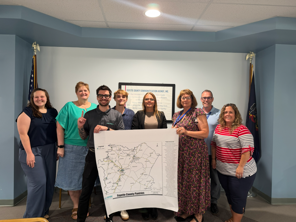
Early applications include examining community food access alongside demographic and socioeconomic conditions. Brownfield mapping efforts are also helping organize property information to support redevelopment planning and prioritization.
These examples demonstrate how GIS analysis can inform decisions affecting economic development and quality of life.
Investing in Local Knowledge and Technology
Fayette Atlas represents an investment in both technology and local capacity.
Through educational partnerships, GIS internship opportunities, and hands-on project experience, Fay-Penn is helping students and developing professionals apply geographic technologies to real community challenges.
Building local GIS knowledge can also strengthen Fayette County’s ability to address future planning, infrastructure, and economic development needs.
Mapping The Future of Fayette
Fayette Atlas builds on Fay-Penn’s mission to strengthen economic opportunities, support communities, and encourage investment throughout Fayette County.
Whether a municipality is examining infrastructure needs, a community organization is evaluating service areas, or an engineering firm is organizing geographic data, a clearer understanding of local information can help guide the next step.
By connecting geographic analysis with economic development expertise and project planning assistance, Fayette Atlas helps bridge the gap between identifying a need and developing a project.
Explore Fayette Atlas
Are you a municipal leader, business owner, engineering professional, community organization, or development partner interested in GIS resources?
Contact Fay-Penn Economic Development Council to learn more about municipal GIS assistance, geographic data access opportunities, or potential collaborations.
Save The Date
Introducing Fayette Atlas on GIS Day 2026
Introducing Fayette Atlas on GIS Day 2026
Fay-Penn will formally introduce Fayette Atlas as part of its GIS Day celebration on November 18, 2026, joining organizations around the world in recognizing the important role geographic information plays in everyday life.
The event will showcase interactive mapping applications, real-world project examples, and the growing possibilities for GIS in Fayette County.
Municipal leaders, businesses, community organizations, and development professionals are encouraged to explore how Fayette Atlas can support their planning, analysis, and future project needs.
Fayette Atlas: Mapping Assets. Identifying Opportunities. Building Stronger Communities.
